|

HuntData LLC
For Sales please Call.
303.663.4878
For support questions, please send us an email
the response will be much faster.
|
|
| |
 |
 |
|
| Home » All Products |
 |
|
|
|
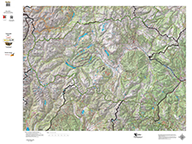
New Colorado Topographical Maps.
|
Details |
|
|
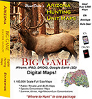
Arizona Digital Maps.
|
Details |
|
|
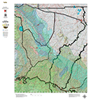
Arizona Mule Deer Concentration Map.
|
Details |
|
|
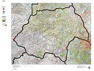
Arizona Topographical Map.
|
Details |
|
|
Arizona Turkey Concentration Map.
|
Details |
|

|
Arizona Centerpoint.
|
Details |
|

|
Arizona Hat Trick.
|
Details |
|
|
|
Arizona Hat Trick.
|
Details |
|
« Previous | 1 | 2 | 3 | 4 | 5 | 6 | 7 | 8 | 9 | 10... | Next »
|
|
Note: If you are unable to add items to your cart please make sure you are able to accept
Session "cookies" in your browser. |
|
 |
|
 |
|
|
|
| |
home |
about us |
products | search | checkout
| e-mail
| privacy policy
HuntData Copyright 1996-2008 HuntData LLC.
Web site Optimization and Design By fmtmwebservices.net
& Uswebtek.com
|
|
|
|